Cart

Added to cart

product image
Go to cart

Your order qualifies for free 2-day shipping and easy returns

Professional security site planning software

RAVEN Site Planning Tool

Go to Product Support
product image

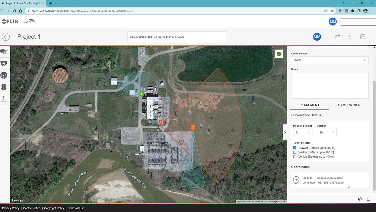
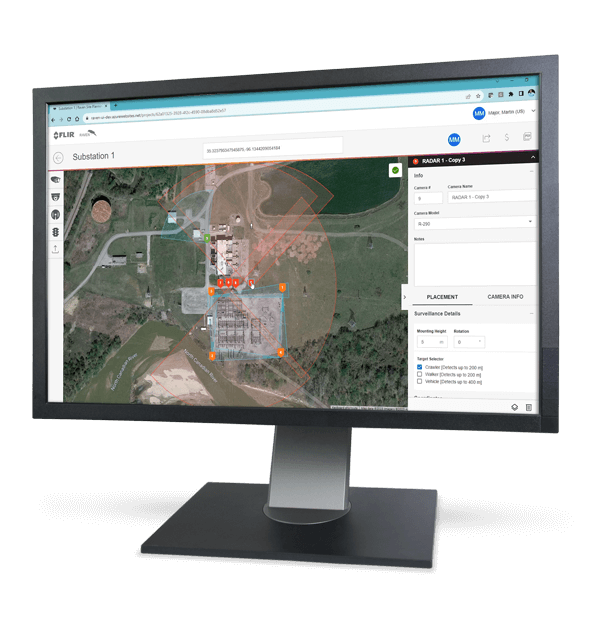
Raven is a professional site planning application that empowers planners and integrators with thermal security camera simulation and google maps layout ability. FLIR has created this industry standard application to meet the needs of its commercial and retail clients.

Sales Contact Contact Sales

Powerful simulation and layout software

  • Satelite imaging integration

    Raven utilizes Google Maps satelite imagery worldwide to provide the most accurate site representation possible.

  • Overlay imagery function

    Import your future site plan into Raven and overlay it onto Google Maps before laying out your cameras.

  • Create your PDF report

    Create your plan, then output the PDF report complete with detailed GPS camera locations and models ready for quote building.

Contact Sales

Want more information on this product?

Call 800 254-0632 to speak with a knowledgeable specialist.

Related Documents

RAVEN Site Planning Tool